Questions abound regarding the rationale behind opening schools in the United States and as with most high-level decisions in 2020, the topic has become profoundly politicized. Part of the challenge surrounding the COVID-19 pandemic is the balance of prioritizing public safety while promoting economic prosperity. These two elements are often juxtaposed with one another and a medium ground is questioned by individual interests. It is hard for the economy to thrive if society is closed and it is hard to keep people safe if society is open. In this blog article, we will take a look at ways in which dynamic maps can be introduced in the discussion and what role technology can play in making informed policy decisions related to education in the US.
Category: DynamicLocator
Interactive Map of the US States to Guide your Summer Travels
With summer upon us many are enthusiastically planning their summer vacations and retreats from the bustle of everyday life. We all cherish these moments to unwind, rest and reconnect with family and friends or even seek adventure. With this thought in mind, we wanted to share some projects that have benefited from a map of the US states within the tourism industry, applying many different types of cartography and software functionality. We will discuss some of the interesting developments that we encountered along our development path.
Drive your JavaScript Map with a Custom Admin Tool
A custom admin tool offers users an intuitive and non-technical method of managing data within a JavaScript Map project. As most map applications work with a database on the back end, the standard approach would be to interact with the data directly from within the database, hosted on the end-company servers, and usually accessible via ftp. However there are many cases where custom admin tools provide great solutions for both companies and general users of the map. Admin tools offer security, facilitate user interaction with the data and enable team participation without exposing any classified information on your servers. See how custom admins provide innumerable benefits for many jQueryMaps users.
jQuery Mall Maps – Directing Shoppers with DynamicLocator Maps
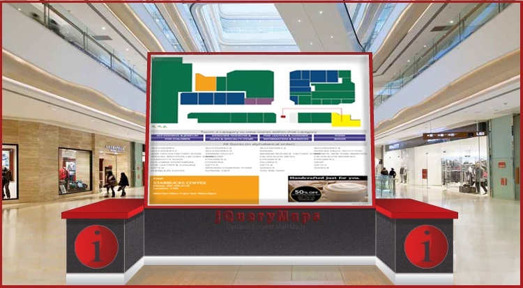
Bringing floor plans to life, through custom-built mapping software, is exactly what the DynamicLocator product offered by jQueryMaps was designed to do. This tool has a wide number of applications, including mapping of airports, stadiums, campuses, office buildings, warehouses and much more, however in this article we will be examining how the DynamicLocator has replaced outdated static shopping mall maps.
JavaScript Interactive Maps
As mobile devices and tablets become ever more prominent for users accessing information on the internet, JavaScript interactive maps have become the standard in the mapping industry. Well designed JavaScript Interactive Maps offer users a responsive tool for transmitting information instantly to users. There are many ways web-based maps can be used and at jQueryMaps we have had the honor to work with companies across almost all major industries, ranging from small startups to Fortune 500 Corporations.


