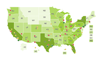
The jQueryMaps Evaluation Packs are fully functional projects licensed to work for 30 days. jQueryMaps can be used with any cartography and server technology (PHP/MySQL, .NET/SQL Server, etc.). We have created these evaluation packs of the most popular configurations, but contact us should you need any other.
Advanced Features
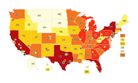
An XML-based US states map with advanced features such as focusing on a point or show/hide areas.
Advanced Features with DB
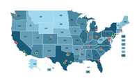
PHP/MySQL-based maps of the world, US states, and counties, with advanced features such as focusing on a point or show/hide areas.
OpenStreetMap Integration
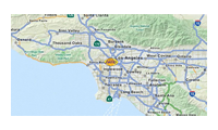
An XML-based US states map combined with OpenStreetMap to display street-level detail.
Airport Floorplan
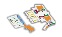
An XML-based floorplan of an airport with features such as identifying a specific space, focusing on the location and routing between two spaces.


