As summer is in full swing, many tourists are looking for excursions that provide a break from the routine while still averting large crowds. The appeal for nature-oriented travel has never been stronger and visitors to the US national parks are arriving in record droves. The enchantment includes the ageless appeal to connect with nature and the excitement of seeing animals in their natural habitats. Travelers also seek to expand their horizons by trying new hiking routes with the rewards of memorable views and the satisfaction of having achieved new goals. While taking on these adventures, either in the US national parks or throughout expansive conservation lands, the ability to reliably find and follow trail routes provides reassurance and enhances the experience of travelers venturing out into the wild. In many locations internet service can be sparse and following routes marked on traditional web-based maps is unreliable. The ability to locate the trailheads, along with reliable insights on the route, set the precursor to any successful outing. Working with Interactive Maps can enhance your next hiking excursion.
Category: Territories
Take off with a Map of Countries for the Travel Industry
Using a responsive map of countries as an interactive component of your website is a great first consideration when enhancing your user interface. Maps provide aesthetically pleasing and practical solutions for company managers and general visitors seeking information about travel routes, departure locations, schedules or any other data components associated with traveling. Maps can also include any necessary levels of detail, including World maps divided by Continents and Countries down to street level detail in specific cities using OpenStreetMap or Google Maps. The software is robust, highly flexible and designed so that it can be self-managed from your company servers.
Create a Map with Interactive Rep Territories for your Company
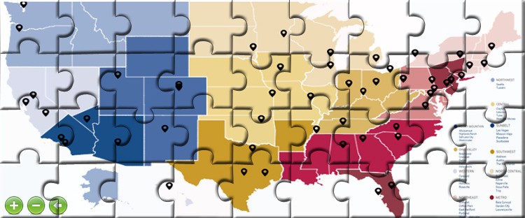
An important use of interactive web-based maps is to display rep territories for companies. Built on HTML5 code and JavaScript, the software is designed to create a map or multiple maps with specific contact information, as well as the ability to manage the information as regions shift and data changes. This flexibility is a core feature of the product that permits companies to run and maintain the maps entirely on their own, without monthly fees or ongoing technical maintenance requirements. Changing content on any level is a snap and can be conducted in minutes.
Using a jQuery Interactive Map to Show Sales Rep Territories
We are thrilled about the unveiling of our latest tool that automatically and independently creates a jQuery Interactive Map with custom divisions. In the past all maps with custom divisions required areas to be joined by our cartography team on the back-end. jQueryMaps would typically process these divisions based on a list of zip codes or counties in order to generate the divisions as part of a custom map. However managing the constant shifts in territories always posed a challenge and required for updates to come through us. Each revision would take a few days to process and deliver, which drew some reservations from clients. Our new custom tool addresses this requirement and allows for clients to fully generate and manage all custom territories directly on their servers within minutes.


