jQueryMaps Evaluation Packs
HomeAt jQueryMaps we have been developing premier mapping solutions since 2003, serving over 30% of the Fortune-100 companies and many US federal agencies. Our Evaluation Packs are fully functional jQuery maps licensed for a period of 30 days. They will help you understand what our maps can do and what goes on behind the scenes
jQueryMaps can be used with virtually any cartography, server technology and database, such as PHP/MySQL, .NET/SQL Server, etc. We have put together these evaluation packs based on the most popular configurations, but don't hesitate to contact us if you need a different setup or would like to test out any other jQuery product.
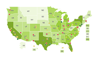
The Very Basic
An XML-based US states jQuery map with basic functionality.
Learn how to embed the jQuery map into your HTML pages and how it can call your JavaScript code.
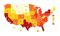
Advanced Features
An XML-based US states jQuery map with advanced features such as focusing on a point or show/hide areas.
Learn how to interact with the jQuery map without PHP or MySQL.
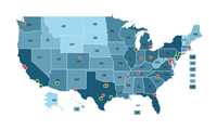
Advanced Features
with Database
PHP/MySQL-based jQuery maps of the world, US states, and counties, with advanced features such as focusing on a point or show/hide areas.
Learn how to interact with the jQuery map and color areas according to database values.
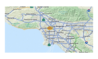
OpenStreetMap Integration
An XML-based US states jQuery map combined with OpenStreetMap to display street-level detail.
Learn how to integrate the power of jQueryMaps for high-scale maps with OpenStreetMap or any other street-level maps.

Airport Floorplan
An XML-based jQuery floorplan of an airport with features such as identifying a specific space, focusing on the location and routing between two spaces.
